Desktop GIS Software
Desktop GIS software is crucial for managing and maintaining geographic data, performing spatial analysis and for creating and publishing compelling maps. They can combine data from a variety of sources, including relational databases, local data files and web-based mapping services and can often be configured or customised to streamline tasks and create efficient workflows.
Feel free to browse a selection of our desktop software products below. GIS4BUSINESS has extensive experience in delivering solutions that incorporate desktop GIS software. We can advise on the best solution for your requirements and can help you get up and running quickly with your software.
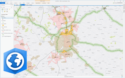
Esri ArcGIS Desktop
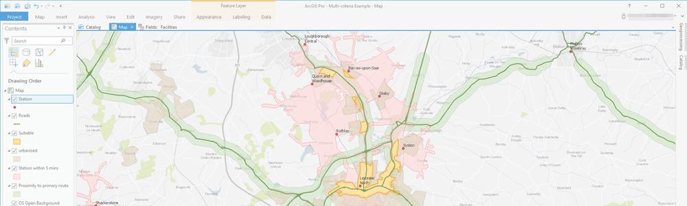
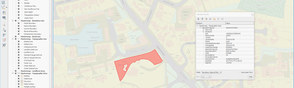
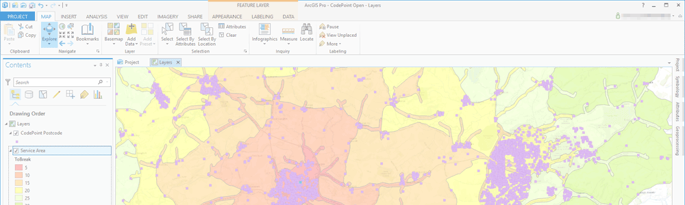
Esri ArcGIS® Desktop is the industry standard professional desktop GIS for managing and maintaining enterprise GIS data, creating and publishing maps and performing advanced spatial analysis.
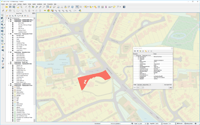
QGIS Desktop
QGIS Desktop is a professional GIS application that supports a wide variety of data formats and a growing set of features and functionality for creating, editing, visualising and analysing geographical information. QGIS has great support for OGC standards and has a range of plug-ins available.