Geographic Analysis & Maps
The power of mapping and geographic information systems lies in their ability to process and visualise large amounts of spatial information through geographic analysis, revealing information, patterns and relationships that enable better communication and decision making.
Organisations are increasingly collecting and maintaining locational information relating to assets, vehicles, customers or competitors. A host of external geographic data can also be utilised in geographic analysis to reveal information about customer demographics, points of interest, optimal routes or environmental risks such as flooding. However, many businesses do not fully exploit locational and geographic information for business intellegence or decision making.
GIS4BUSINESS can help your organisation make better use of geographic information. We can produce custom maps, visualise business data or undertake more complex geographical analysis by overlaying or combining multiple datasets.
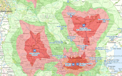
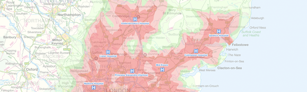
Routing & Network Analysis
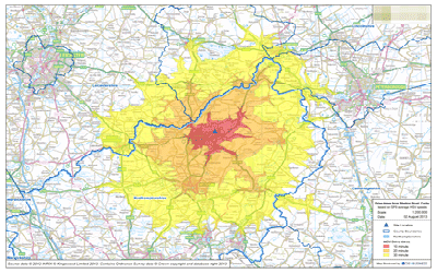
Solving network related problems can be complex, such as finding the fastest route between locations, calculating service areas or tracing connected assets. GIS provides answers to these network analysis problems and can communicate the results in a compelling way through maps.
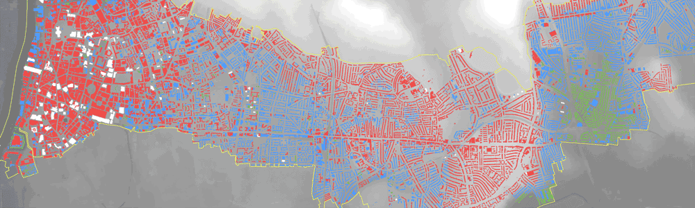
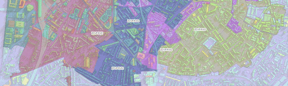
Multi-Criteria Evaluation
Many geographical business decisions are based on multiple factors. For example, the optimum location for a new site may depend on the density of customers, distance from competitors and the current land use. One of the key benefits of GIS is their ability to integrate, analyse and overlay different spatial datasets to facilitate informed decision-making.
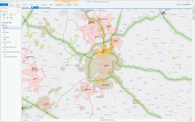
Map Production & Reporting
Using specialist GIS software, GIS4BUSINESS can produce well-designed, professional maps and reports. We can produce single site plan, a whole series of maps, or a report that provides answers to complex spatial problems. We can also deliver maps and reports in digital format or as an interactive web map.