Esri ArcGIS Online
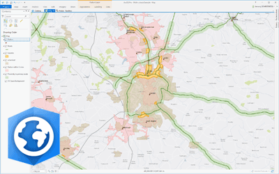
Esri ArcGIS® Online is a fully hosted cloud-based mapping platform for creating and sharing GIS data, maps and apps that can be consumed on a variety of devices. The solution is scalable, secure and requires no investment in expensive server infrastructure.
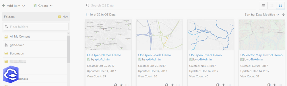
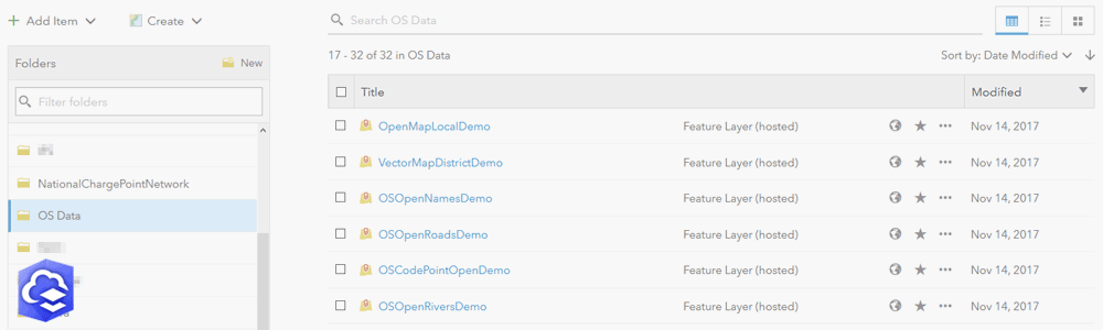
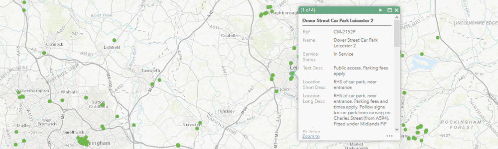
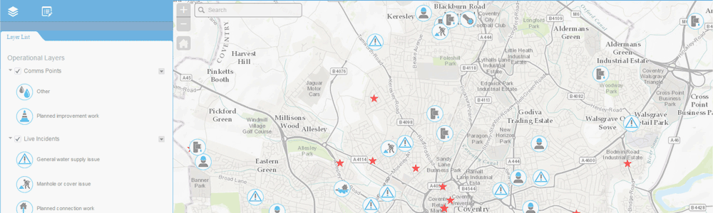
ArcGIS Online includes advanced visualisation, analytics, geocoding and routing capabilities. Solutions can be delivered rapidly using a range of ready-to-use basemaps, web app templates and configurable mapping apps for the office and field. Your locational information can be quickly and securely shared across your organisation, with third-parties or the public.
ArcGIS Online is licensed at an organisation level using named users and service credits that cover data storage and use of advanced geoprocessing and analysis services.

GIS4BUSINESS is an Esri Partner and specialises in designing, delivering and supporting solutions that utilise ArcGIS Online. We can advise on whether ArcGIS Online meets your requirements, can configure your organisational account and assist with publishing data, creating maps and configuring web and mobile apps. We can also advise on and help with integration of ArcGIS Online with other systems.
| Licensing | Named users annual subscription and service credits. |
| License Levels | Viewer, Editor, Field Worker, Creator, GIS Professional. |
| Pricing | Based on number and type of named users and service credits required – Call Us. |
| Support | Esri support included. Tailored support also available. |
Related Products
Esri ArcGIS Desktop
Esri ArcGIS® Desktop is the industry standard professional desktop GIS for managing and maintaining enterprise GIS data, creating and publishing maps and performing advanced spatial analysis.
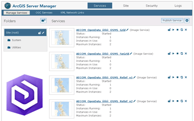
Esri ArcGIS Enterprise
Esri ArcGIS® Enterprise is the leading fully integrated GIS platform that provides tools for managing and distributing GIS services that can be consumed by a variety of clients and applications, either internally or externally
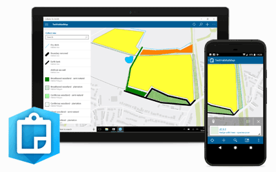
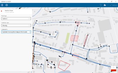
Esri Collector for ArcGIS
Esri Collector for ArcGIS®is a configurable map-centric field data collection app for Windows, Android and IOS devices. Collector for ArcGIS can operate in online and offline modes and supports external high-accuracy GPS devices for improved accuracy.
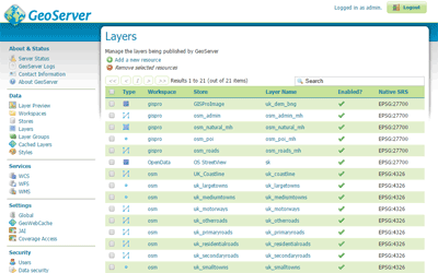
GeoServer
GeoServer is an OGC compliant server for publishing maps and spatial data using open standards such as Web Feature Service (WFS), Web Map Service (WMS) and Web Coverage Service (WCS).
Related Services
GIS Installation & Configuration
GIS can be complex when there are databases, server and desktop solutions to consider. We have extensive experience in the installation and configuration of Esri ArcGIS and Open Source solutions such as GeoServer and PostGIS.
Web Mapping
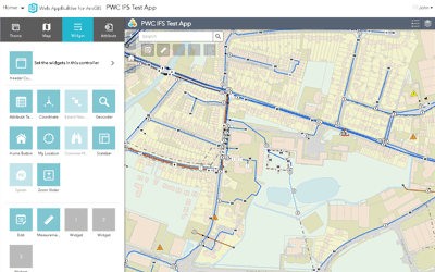
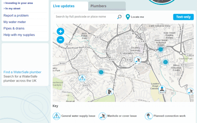
Whether you require a simple embedded web map or a more complex web GIS application, GIS4BUSINESS has many years of experience in designing, configuring and developing web-based mapping solutions for small and large user bases.
Technical Support
Our flexible technical support agreements cover your organisation’s implementation of the software, business processes and data. We can also implement pro-active maintenance processes to ensure that your solution continues to perform optimally.
GIS Customisation
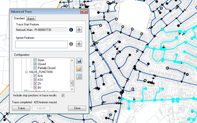
Customisation of GIS desktop, web and mobile applications is often required to improve workflows or deliver specific functionality. GIS4BUSINESS has the required expertise and experience of developing GIS tools, extensions, plug-ins and widgets.
Mobile GIS Services
Using mobile GIS can streamline data collection and update workflows and provide timely information about assets, vehicles or resources. GIS4BUSINESS can help you make sense of the options and help design, configure and develop mobile GIS solutions.
GIS Data Management & Hosting
GIS4BUSINESS has the knowledge and experience to manage your GIS data for you so that specialist skills are not required in-house. We can support and maintain your geo-databases, manage regular updates or host your GIS data, services and applications in the cloud.
Esri, the Esri globe logo, and ArcGIS are trademarks, service marks, or registered marks of Esri in the United States, the European Community, or certain other jurisdictions.