GeoServer
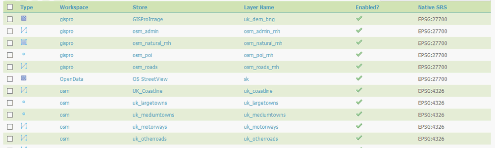
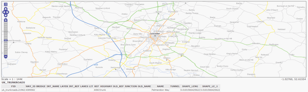
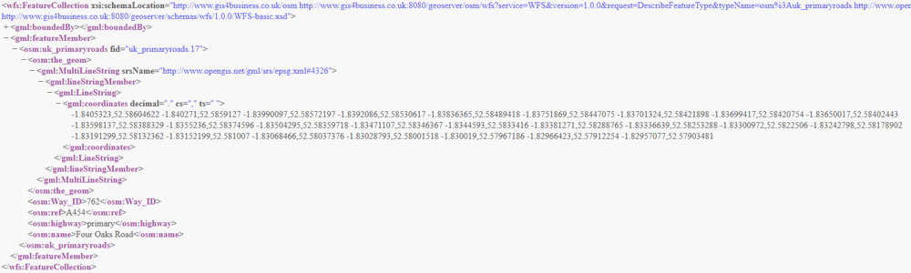
GeoServer is an OGC compliant server for publishing maps and spatial data using open standards such as Web Feature Service (WFS), Web Map Service (WMS) and Web Coverage Service (WCS). GeoServer publishes data from a variety of sources, including Shapefiles, various raster image formats and spatially enabled databases such as PostGIS. Additional publishing options are also available, including Web Map Tile Service (WMTS), GeoJson, GeoRSS, PDF, SVG and KML.
GeoServer is an official project of the Open Source Geospatial Foundation (OSGeo) and is distributed as Free and Open Source Software (FOSS) by a community of developers and organisations worldwide. The software can be installed on Windows, Linux and Mac OSX and has a range of extensions available.
GIS4BUSINESS can advise on whether GeoServer will meet your requirements and can supply, install and configure your solution or assist with integrating the software with other Open Source or proprietary software and databases. We can also offer tailored training, ongoing support or can provide fully hosted GeoServer solutions.
GeoServer is a project of the Open Source Geospatial Foundation (OSGeo).
| Licensing | GNU General Public License Version 2.0 |
| Pricing | Free |
| Support | Tailored support available. |
Related Products
Related Services
Desktop GIS
GIS4BUSINESS can advise on the appropriate desktop GIS software to meet your requirements and provide commercial or open source GIS products. We can assist with installing the software, setting up your database and configuring your maps, layers and print layouts.
Tailored GIS Training
GIS4BUSINESS provide tailored end-user GIS training on-site to small groups or one-to-one. We also offer detailed technical training and documentation covering the various components of the GIS solution for system administrators.