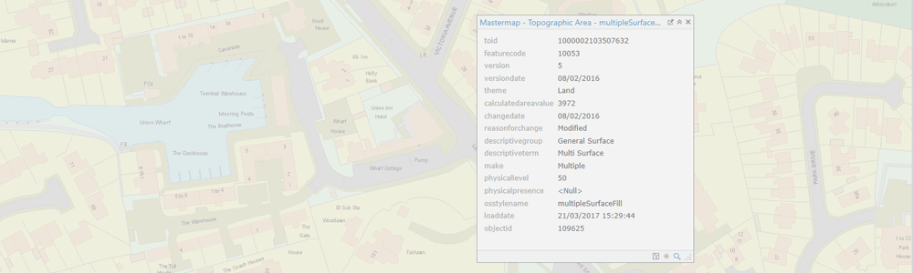
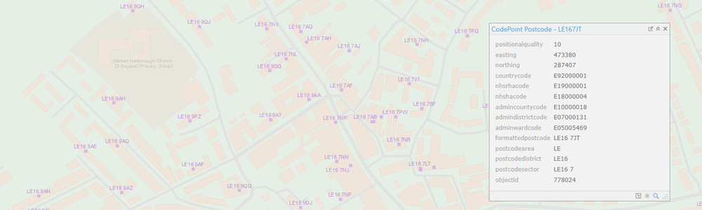
GIS & Map Data Supply
GIS4BUSINESS can supply a range of GIS and map data from a variety of sources, including Ordnance Survey licensed and open data products, OpenStreetMap and other recognised data providers.
We can offer independent advice on your current and future map data requirements and offer a tailored service, supplying the data in the format you require and for your specific area of interest.
We can provide regular updates to your map data and advice on how best to load, store and visualise the data in most commercial and open source GIS products and databases. We can also assist you further by loading and configuring your data or by hosting your data in the cloud, reducing your data maintenance overheads.
Related Products
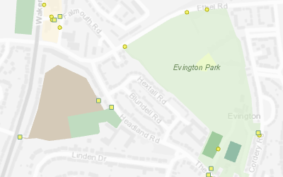
OS Open Greenspace
OS Open Greenspace is a dataset of green spaces that are likely to be publicly accessible, including parks, playing fields, sports facilities and allotments, and includes the details of any access points.
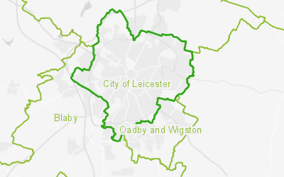
OS Boundary-Line
The OS Boundary-Line dataset contains details of administrative boundaries for England, Scotland and Wales, including counties, districts, boroughs, wards and parishes. The boundaries can be used in combination with a range of government statistical data to perform analysis.