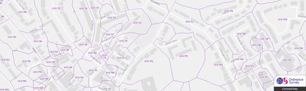
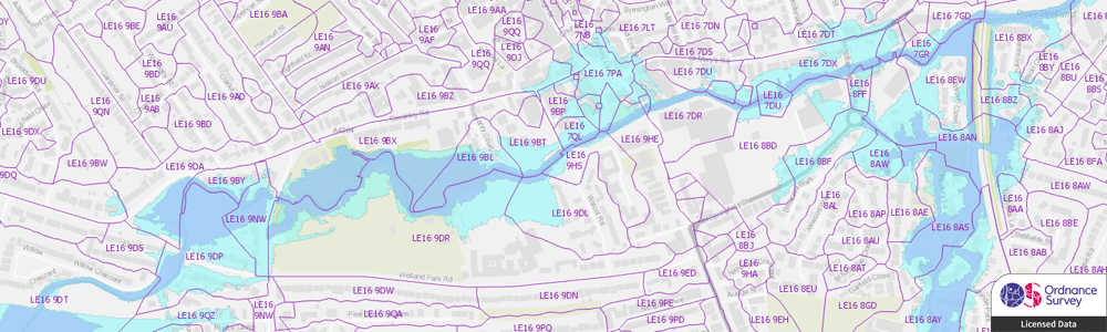
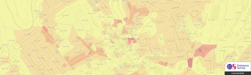
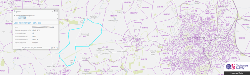
OS Code-Point with Polygons
The OS Code-Point® with Polygons dataset includes point locations of all postcodes in Great Britain and notional postcode boundary polygons, enabling better visualisation and analysis of your postcode related data.
Whether you need to visualise customer demographics, property, health or crime information or have a requirement to analyse risk information, such as flooding, and subsidence, Code-Point with Polygons enables more advanced analysis and decision-making.
We can supply Code-Point with Polygons data in most major formats. We can also provide updates on a regular schedule to ensure you always have the most current information.
GIS4BUSINESS can also assist with bespoke geographic data analysis that incorporates postcode information and can provide derived data and reports, such as flood risk for postcodes. We can also provide derived postcode sector, district and area polygons if required. Please feel free to talk to us about your specific requirements.
| Type | Vector – Points, Polygons, Tabular |
| Layers | Postcode Points, Postcode Polygons, Vertical Streets (Table), Discards (Table) |
| Scale | Up to 1:1,250 |
| Coverage | Full GB or your area of interest |
| Update Frequency | Quarterly |
| Formats Available | Esri Shapefile, Esri File Geodatabase, MapInfo TAB, PostGIS, Others |
| Pricing | Dependent on coverage and intended use. |
| Licensing | Annual License Required. |
| User Guide & Specification | Download |
Related Products
Related Services
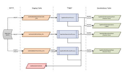
GIS Data Conversion & Loading
GIS4BUSINESS can simplify the maintenance of your GIS data by converting most datasets into the native format that is required by your software or database. We can assist with loading GIS data directly into your database and building processes to simplify regular updates.
GIS Installation & Configuration
GIS can be complex when there are databases, server and desktop solutions to consider. We have extensive experience in the installation and configuration of Esri ArcGIS and Open Source solutions such as GeoServer and PostGIS.
System Integration
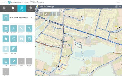
Increasingly location is embedded into business systems where visualising and analysing data requires system integration. GIS4BUSINESS has undertaken many projects involving integration of GIS functionality with other business systems.
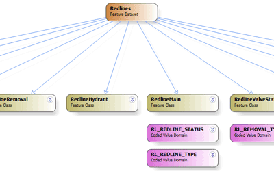
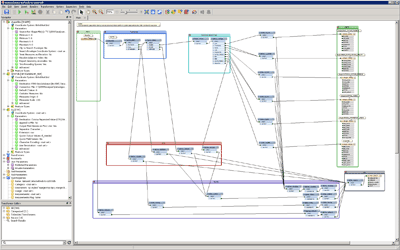
GIS Database Design & Loading
GIS4BUSINESS can help with designing spatial databases and modelling spatial data to ensure that the design is tailored to intended use cases and performance is not compromised.