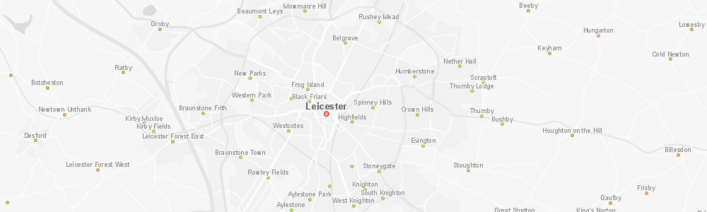
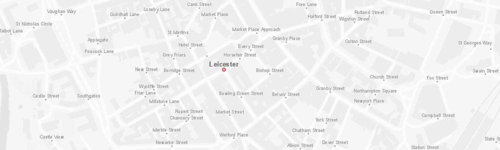
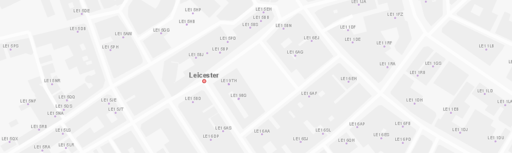
OS Open Names
The OS Open Names dataset contains point locations for settlements, roads and postcodes in the UK, along with names and basic contextual information.
OS Open Names can be combined with other Ordnance Survey datasets, such as OS Open Map Local or OS Vector Map District to provide map reference information. The data can also be used in spatial analysis or for building basic gazetteer search or geocoding functionality.
GIS4BUSINESS is an OS Partner and can supply OS Open Roads data in most major formats and for the coverage you require, from a small area to full UK coverage.
| Type | Vector – Points |
| Layers | Named Places – Cities, Towns, Suburban Areas, Villages, Hamlets, Named Roads, Numbered Roads, Postcodes |
| Scale | Recommended viewing scale 1:2500 to 1:4000000 |
| Coverage | Full UK or your area of interest |
| Update Frequency | Quarterly |
| Formats Available | Esri Shapefile, Esri File Geodatabase, MapInfo TAB, PostGIS, Others |
| Pricing | Processing fee (dependent on coverage and format) |
| Licensing | Open (License Information) |
Related Products
OS Open Greenspace
OS Open Greenspace is a dataset of green spaces that are likely to be publicly accessible, including parks, playing fields, sports facilities and allotments, and includes the details of any access points.
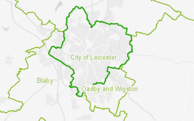
OS Boundary-Line
The OS Boundary-Line dataset contains details of administrative boundaries for England, Scotland and Wales, including counties, districts, boroughs, wards and parishes. The boundaries can be used in combination with a range of government statistical data to perform analysis.
Related Services
GIS Database Design & Loading
GIS4BUSINESS can help with designing spatial databases and modelling spatial data to ensure that the design is tailored to intended use cases and performance is not compromised.