OS Open Roads
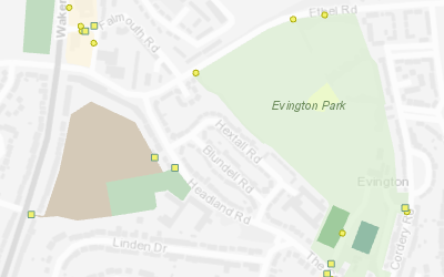
OS Open Roads is a mid-scale topologically connected road network dataset covering the UK. The data includes road centrelines classified by the national and local highway authorities, nodes representing connections and motorway junctions.
OS Open Roads can be combined with other Ordnance Survey datasets, such as OS Open Map Local or OS Vector Map District to provide map reference data. It can also be used for spatial analysis and simple road network analysis, such as generating drive-times and service areas.
GIS4BUSINESS is an OS Partner and can supply OS Open Roads data in most major formats and for the coverage you require, from a small area to full UK coverage.
| Type | Vector – Points & Lines |
| Layers | Road Links, Road Nodes, Motorway Junctions |
| Scale | Recommended viewing scale 1:15000 to 1:30000 |
| Coverage | Full UK or your area of interest |
| Update Frequency | 6 monthly |
| Formats Available | Esri Shapefile, Esri File Geodatabase, MapInfo TAB, PostGIS, Others |
| Pricing | Processing fee (dependent on coverage and format) |
| Licensing | Open (License Information) |
Click or tap a feature on the map to view the attributes.


