OS Boundary-Line
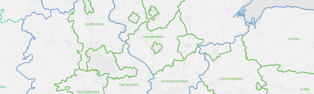
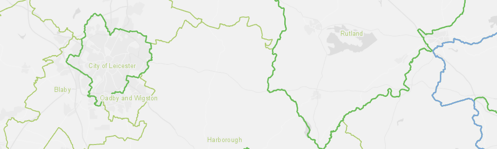
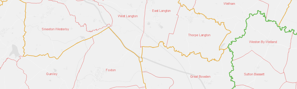
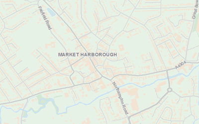
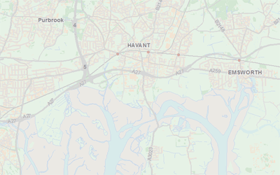
The OS Boundary-Line™ dataset from Ordnance Survey contains details of administrative boundaries for England, Scotland and Wales, including counties, districts, boroughs, wards and parishes. The boundaries can be used in combination with a range of government statistical, census and other available data to map trends and perform demographic analysis.
GIS4BUSINESS has enhanced the core product by providing additional attribution, including the hierarchy and relationships between various boundaries.
GIS4BUSINESS is an OS Partner and can supply OS Boundary-Line data in most major formats and for the coverage you require, from a small area to full coverage.
| Type | Vector – Lines & Polygons |
| Layers | European Regions; Scottish and Welsh Regions & Constituencies; Welsh Communitie; Counties (inc. Historical and Ceremonial); District, Borough and Unitary Authorities; County Electoral Divisions; District, Borough & Unitary Wards/Divisions; Westminster Constituencies; Parishes; Polling Districts; High Water Lines. |
| Scale | 1:10,000 with a suggested viewing scale of 1:10,000 to 1:3,000,000 |
| Coverage | Full UK or your area of interest |
| Update Frequency | 6 monthly |
| Formats Available | Esri Shapefile, Esri File Geodatabase, MapInfo TAB, PostGIS, Others |
| Pricing | Processing fee (dependent on coverage and format) |
| Licensing | Open (License Information) |
Related Products
OS Open Map Local
OS Open Map Local is the most detailed street-level open data product currently available from Ordnance Survey. The data includes roads, buildings, railways, hydrology, woodland and cartographic text, making it a great option for map backgrounds and spatial analysis.
OS VectorMap District
OS VectorMap District provides contextual mapping and background reference data, including roads, buildings, railways, hydrology, woodland and place names, making it a great option for map backgrounds and reference data.
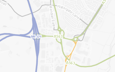
OS Open Roads
OS Open Roads is a mid-scale topologically connected road network dataset covering the UK. The data includes road centrelines classified by the national and local highway authorities, nodes representing connections and motorway junctions.
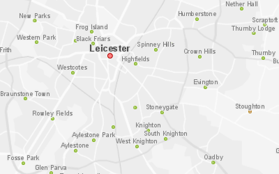
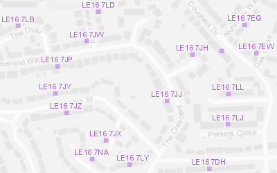
OS Open Names
The OS Open Names dataset contains point locations for settlements, roads and postcodes in the UK, along with names and basic contextual information. It can be used in spatial analysis or for building basic gazetteer search and geocoding functionality.
OS Code-Point Open
OS Code-Point Open contains points representing locations of UK Postcodes along with basic contextual information. GIS4BUSINESS has enhanced the original dataset by providing formatted (single spaced) postcode, postcode area, district and sector attributes.
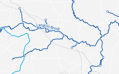
OS Open Rivers
OS Open Rivers is a mid-scale topologically connected watercourse network dataset covering the UK. The data includes inland and tidal rivers, canals and connecting source, junction and outlet nodes. It can be used as reference information or for spatial and network analysis.
Related Services
GIS Installation & Configuration
GIS can be complex when there are databases, server and desktop solutions to consider. We have extensive experience in the installation and configuration of Esri ArcGIS and Open Source solutions such as GeoServer and PostGIS.
GIS & Map Data Supply
GIS4BUSINESS can supply a range of GIS and map data from a variety of sources, including Ordnance Survey licensed and open data products, OpenStreetMap and other recognised data providers.
GIS Data Management & Hosting
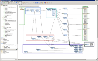
GIS4BUSINESS has the knowledge and experience to manage your GIS data for you so that specialist skills are not required in-house. We can support and maintain your geo-databases, manage regular updates or host your GIS data, services and applications in the cloud.
Data Maintenance
Our GIS experts can maintain your GIS data on your behalf, including Ordnance Survey and other third-party data. We can apply regular updates to ensure that your applications have up-to-date maps and reference information, reducing the risk of incorrect decisions that are based on out-of-date information.
System Integration
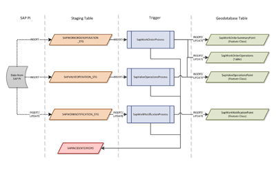
Increasingly location is embedded into business systems where visualising and analysing data requires system integration. GIS4BUSINESS has undertaken many projects involving integration of GIS functionality with other business systems.
GIS Data Conversion & Loading
GIS4BUSINESS can simplify the maintenance of your GIS data by converting most datasets into the native format that is required by your software or database. We can assist with loading GIS data directly into your database and building processes to simplify regular updates.