Past GIS Projects
Investigate the wide variety of GIS projects that GIS4BUSINESS has undertaken in the past and find out how some of our customers used mapping and GIS to improve organisational processes, data quality and visualisation of information.
You can also view our recent projects, which showcase some of our recent expertise.
Service Area Analysis
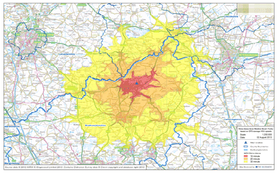
GIS4BUSINESS assisted an environment and transport consultancy with several site selection projects for local authority customers, undertaking GIS-based drive-time and service area analysis to find optimal locations for refuse sites.
Utility GIS Migration
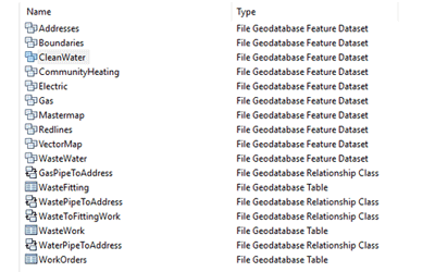
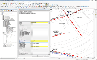
GIS4BUSINESS completed the migration of an existing Esri ArcGIS 9.2 system to version 10.1 for Brookfield Utilities, a multi-utility client that install and manage gas, electricity, water and fibre networks.
GIS Platform Installation & Configuration
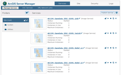
AECOM were interested in building a GIS platform that would become a future corporate GIS portal. GIS4BUSINESS were asked to assist by reviewing the configuration, recommending changes and improvements to ensure best practice.
3D Data Import to CAD using FME
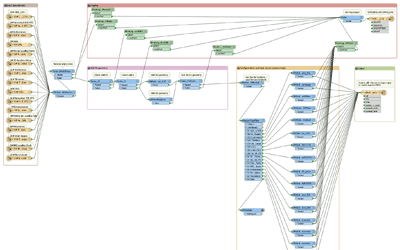
GIS4BUSINESS developed an automated import process using FME to load 3D point data representing various monitoring equipment, in use on a section of the Crossrail engineering project, from an excel file into a template AutoCAD DWG file.
Legacy GIS Replacement
GIS4BUSINESS assisted Severn Trent Water during the delivery of a major GIS replacement project, replacing a legacy Esri asset update system with an enterprise Esri ArcGIS and ArcFM solution.
Utility GIS Improvements
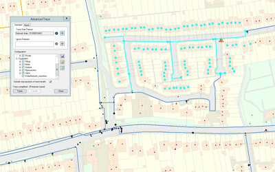
A detailed review was undertaken by GIS4BUSINESS of the state of Portsmouth Water's GIS and asset data. GIS improvements were implemented and have enabled Portsmouth Water to exploit GIS data and integrate GIS with other systems.
Retail Delivery Area Management
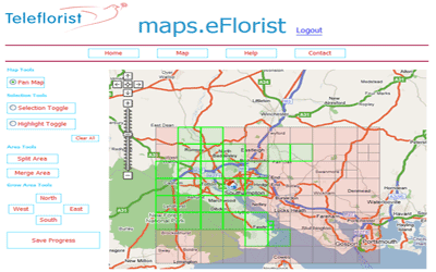
GIS4BUSINESS worked closely with eflorist to design and develop a web-based mapping application to enable franchised retail outlets to map their delivery areas, postcodes and rates and to gain greater insight into their network.
Mapping & Crime Analysis
GIS4BUSINESS provided consultancy and development expertise to Thames Valley Police during implementation of mapping and address data updates to internal systems and assisted with improvements to crime analysis, geo-coding and mapping.
NHS Drive-time Analysis
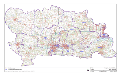
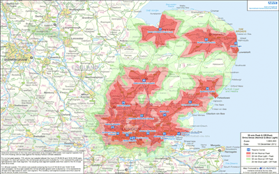
GIS4BUSINESS were asked to undertake drive-time analysis and produce maps and associated population data for several NHS trauma centres in the East of England.
If you are interested in any of our products or services, contact us today and we will be happy to discuss your requirements.


