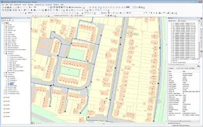
Mapping & Crime Analysis
Thames Valley Police
Sep 2010 – Nov 2011
GIS4BUSINESS provided consultancy and development expertise to Thames Valley Police during implementation of mapping and address data updates to internal systems and assisted with improvements to crime analysis, geo-coding and mapping.
As part of the project, GIS4BUSINESS undertook the following:
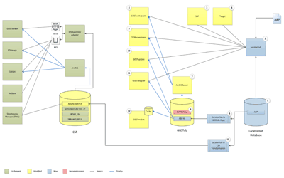
- Implementation of background mapping changes to several internal systems including Esri ArcGIS Desktop, MapInfo Professional and a legacy Command and Control System.
- Preparation and loading of address data updates into the Northgate Compass gazetteer.
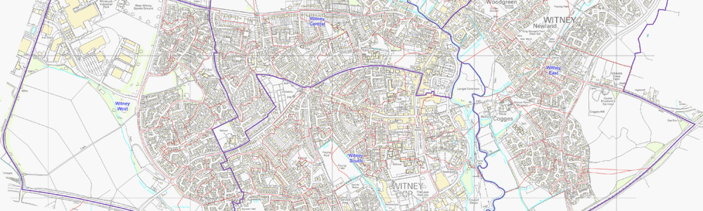
- Update of crime neighbourhood polygons based on changes to census output areas and generation of change information for import into other systems.
- Automation of the production of updated crime neighbourhood maps used across the force.
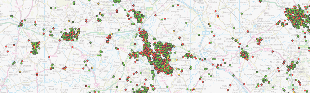
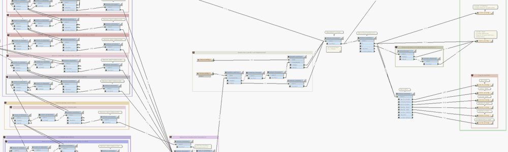
- Development of FME-based processes to geo-code crime data sourced from a legacy system to produce better quality crime analysis and reporting.
- Development of FME processes for extracting geographic and statistical data for use in the National Crime Mapping website.
- Implementation of concurrent license management for Esri software to enable ease of management and deliver cost savings.
Following the project, Thames Valley Police were able to exploit the improved quality data in crime analysis and reporting and ensure that current and legacy systems had up-to-date map background, address and reference data.
Related Projects
Corporate Address Management
GIS4BUSINESS were involved in design, development and implementation of changes to existing systems, including GIS, during the implementation of a corporate address management solution at Severn Trent Water.
AddressBase Premium Migration
Migration to OS AddressBase Premium represented a significant change. GIS4BUSINESS undertook the design and development of required changes to the existing database schema and custom gazetteer tools within Portsmouth Water’s enterprise Esri GIS solution.
Water Utility GIS Strategy
GIS4BUSINESS were asked to assist Portsmouth Water with defining and documenting a long-term high-level GIS strategy that will drive future improvements, integration and exploitation of GIS within the business.
Related Products & Services
GIS Database Design & Loading
GIS4BUSINESS can help with designing spatial databases and modelling spatial data to ensure that the design is tailored to intended use cases and performance is not compromised.