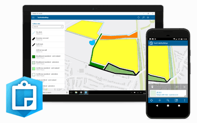
Mobile GIS for the Field
Severn Trent Water
Jun 2013 – Dec 2014
GIS4BUSINESS provided technical GIS consultancy including feasibility, design and development as part of the delivery of a replacement mobile GIS solution for over 1700 field users within Severn Trent Water.
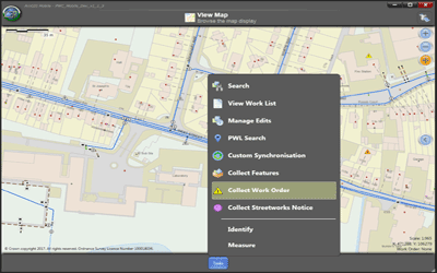
The mobile GIS solution was based upon Esri ArcGIS Mobile and integrates with Severn Trent Water’s existing Esri enterprise platform. GIS4BUSINESS worked alongside Severn Trent Water and Esri UK in the following areas:
- Technical GIS input into requirements gathering and feasibility stages, including configuration and development of proof of concept mobile GIS applications.
- Design, configuration and development, including database design and configuration and development of custom tasks and extensions to the core mobile GIS software.
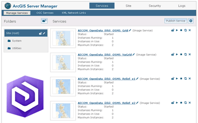
- Design of mobile services and generation of the various mobile caches required, including design and configuration of map layers and symbology to suit mobile devices.
- Development of a C# based batch utility to process and submit redlines to the asset data management team and perform automated verification and direct data entry for specific asset types and attributes.
- Development of reports using SQL Server Reporting Services to assist with tracking field user edits and performance.
- Provision of hypercare support during the implementation phase and assistance with transition to support.
The mobile GIS application integrates with a SAP mobile work management solution and has enabled STW to increase the collection and verification of asset information from field workers.
“STW have employed a variety of services from GIS4BUSINESS that have involved a range of technologies and complexity with significant collaboration across our business. The quality of outputs and professionalism are excellent and we would not hesitate to engage GIS4BUSINESS for future projects.”


