Retail Delivery Area Management
eFlorist
Jun 2007 – Jan 2012
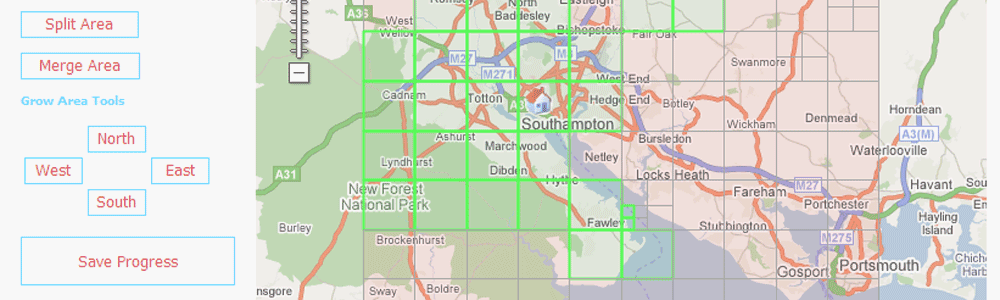
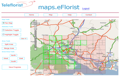
GIS4BUSINESS worked closely with eflorist to design and develop a web-based mapping application to enable franchised retail outlets to map their delivery areas, postcodes and rates.
GIS4BUSINESS undertook design, development and support in the following areas:
- Design and development of a custom web application and services utilising the Google Maps API.
- Design and configuration of the supporting SQL Server database.
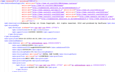
- Procurement of postcode and other third-party data to support the application.
- Development of end-user enhancements and management tools.
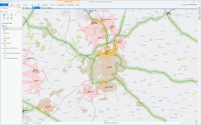
- Development of a custom desktop GIS application and related services to manage and report on the data collected through the system.
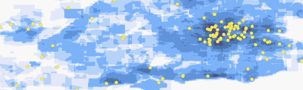
- Geographic analysis and production of various density maps to visualise the franchised store coverage.
- Ongoing support and maintenance of the application.
The system was later expanded into other territories and enabled eFlorist to manage delivery areas more efficiently and gain greater insight into their franchised network.
Related Projects
SAP Work Manager Integration
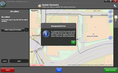
Design review, code review and support during development and testing from GIS4BUSINESS enabled Accenture and Severn Trent Water reduce the risk involved in making code changes to an existing ArcGIS Mobile solution.
Water Utility GIS Support
Our GIS support agreement allows Portsmouth Water’s staff to focus on core responsibilities, such as capturing, managing and updating their asset information, planning future asset improvements and reporting.
Water Utility GIS Updates
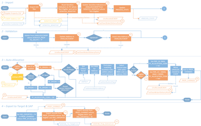
Competition for business customers within the water industry and the separation of the retail and wholesale business required that Severn Trent Water implement GIS updates to handle non-household customers differently.
Related Products & Services
GIS Data Management & Hosting
GIS4BUSINESS has the knowledge and experience to manage your GIS data for you so that specialist skills are not required in-house. We can support and maintain your geo-databases, manage regular updates or host your GIS data, services and applications in the cloud.
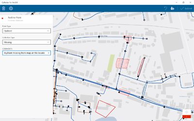
Mobile GIS Services
Using mobile GIS can streamline data collection and update workflows and provide timely information about assets, vehicles or resources. GIS4BUSINESS can help you make sense of the options and help design, configure and develop mobile GIS solutions.
Multi-Criteria Evaluation
Many geographical business decisions are based on multiple factors. For example, the optimum location for a new site may depend on the density of customers, distance from competitors and the current land use. One of the key benefits of GIS is their ability to integrate, analyse and overlay different spatial datasets to facilitate informed decision-making.
GIS Development
GIS4BUSINESS has the GIS development expertise and GIS domain knowledge to design and build custom desktop, web and mobile GIS and mapping applications. We can also assist with embedding GIS or mapping functionality within existing applications or web sites.
Data Maintenance
Our GIS experts can maintain your GIS data on your behalf, including Ordnance Survey and other third-party data. We can apply regular updates to ensure that your applications have up-to-date maps and reference information, reducing the risk of incorrect decisions that are based on out-of-date information.

GIS Components & Services
GIS4BUSINESS has a wide range of experience in designing and developing custom scripts, components, processes and services that work with spatial data. We can help you automate regular data maintenance, data publishing and map production tasks, improving system integration and operational efficiency.