Service Area Analysis
Entran
May 2014 – Jun 2015
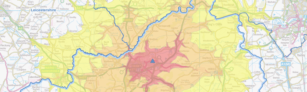
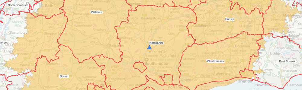
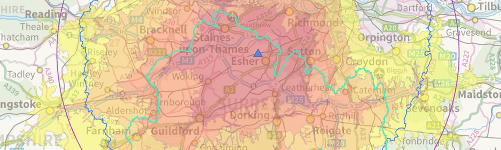
GIS4BUSINESS assisted Entran, an environment and transport consultancy, with several site selection projects for local authority customers, including finding the optimal location for refuse sites based on the expected service areas for refuse vehicles.
As part of the work, GIS4BUSINESS undertook the following:
- Generation of service areas from prospective locations based on drive-times from GPS-based average speeds for HGVs.
- Production of driving distances from prospective sites using Ordnance Survey road network data.
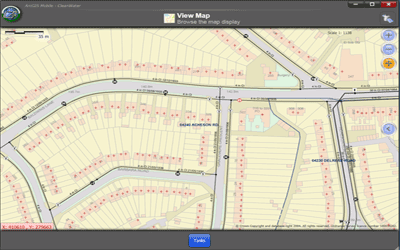
- Presentation of the results of the service area analysis using professional quality high-resolution PDF maps combining the relevant service areas, driving distances and boundary datasets on an Ordnance Survey background.
- Creation of various output reports in excel format from the results of spatial analysis.
- Output of the results of service area analysis in shapefile format.
The maps and reports produced by GIS4BUSINESS allowed Entran to better interpret and visualise information regarding the proposed sites and present the analysis to their local authority customers, ultimately enabling better decision making.
Related Projects
Utility GIS Improvements
A detailed review was undertaken by GIS4BUSINESS of the state of Portsmouth Water's GIS and asset data. GIS improvements were implemented and have enabled Portsmouth Water to exploit GIS data and integrate GIS with other systems.
Mobile GIS for the Field
GIS4BUSINESS provided technical GIS consultancy including feasibility, design and development as part of the delivery of a replacement mobile GIS solution for over 1700 field users within Severn Trent Water.