Utility GIS Improvements
Portsmouth Water
Jul 2010 – Dec 2012
GIS4BUSINESS were asked to undertake a detailed review of the current state of Portsmouth Water’s GIS and asset data and to recommend and implement GIS improvements to improve data quality.
Following the review exercise, GIS4BUSINESS undertook:
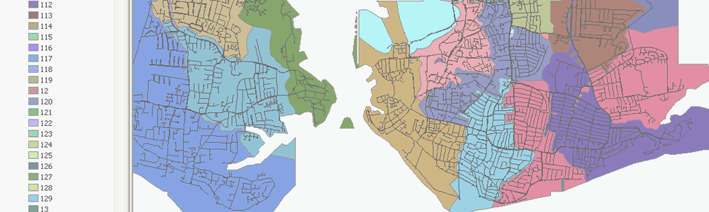
- Design and implementation of GIS improvements to the Esri Geodatabase data model, including consolidation of feature classes, additional attributes and domains.
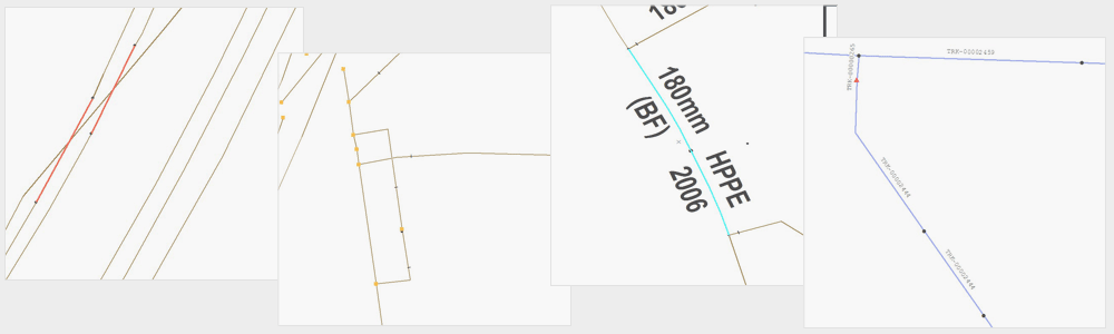
- Development of automated processes to improve the data quality, including snapping equipment (valves, meters etc) to the network, splitting of linear features at junctions and inferring missing sections of main that were historically removed for cartographic reasons.
- Migration of existing data to the new data model, including handling feature-linked annotation and building an Esri Geometric Network.
- Design and development of Esri customisations, using ArcObjects, that ensure ongoing maintenance of the data, including a class extension and custom tools.
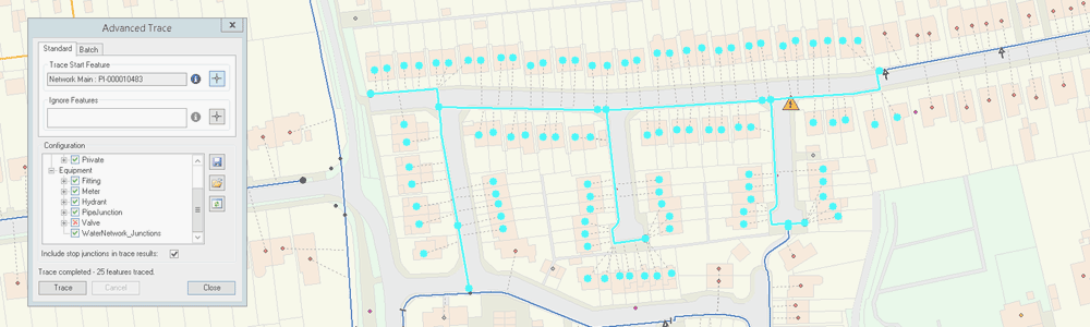
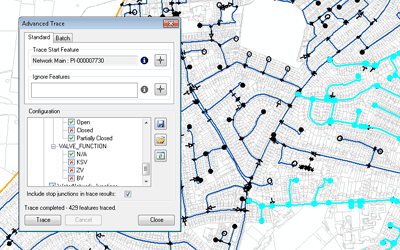
- Design and development of custom advanced network tracing tools and batch tracing utilities.
- Design and development of custom tools to load data (addresses, postcodes, streets) into a central gazetteer and processes to geocode customer records and link properties to the pipe network.
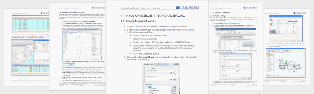
- Production of documentation and training materials and delivery of onsite training.
The GIS improvements implemented by GIS4BUSINESS greatly improved the quality of the asset data and have enabled Portsmouth Water to exploit its full potential for analysis, reporting and integration with other business systems.
Related Projects
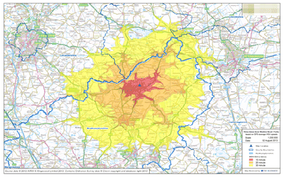
Service Area Analysis
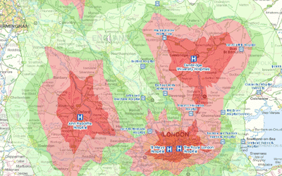
GIS4BUSINESS assisted an environment and transport consultancy with several site selection projects for local authority customers, undertaking GIS-based drive-time and service area analysis to find optimal locations for refuse sites.
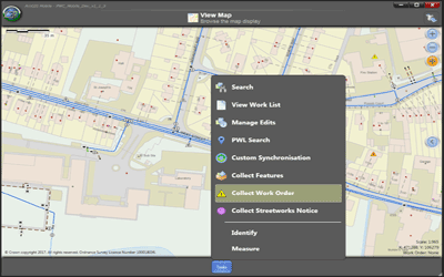
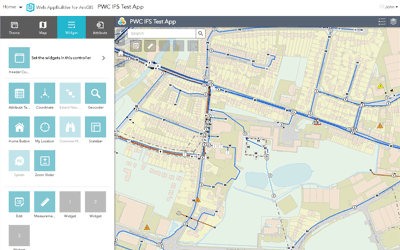
Mobile GIS & Work Management Integration
GIS4BUSINESS assisted Portsmouth Water with the integration of their existing Esri enterprise GIS solution with IFS, a new corporate finance and work management system, including back-end and mobile GIS components.
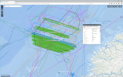
ArcGIS Online Integration
GIS4BUSINESS enabled Seisintel to better support their Esri customers worldwide by integrating their data services with ArcGIS Online, making various datasets available in near real time using custom data synchronisation.
Related Products & Services
Esri ArcGIS Desktop
Esri ArcGIS® Desktop is the industry standard professional desktop GIS for managing and maintaining enterprise GIS data, creating and publishing maps and performing advanced spatial analysis.
Routing & Network Analysis
Solving network related problems can be complex, such as finding the fastest route between locations, calculating service areas or tracing connected assets. GIS provides answers to these network analysis problems and can communicate the results in a compelling way through maps.
GIS Installation & Configuration
GIS can be complex when there are databases, server and desktop solutions to consider. We have extensive experience in the installation and configuration of Esri ArcGIS and Open Source solutions such as GeoServer and PostGIS.
Web Mapping
Whether you require a simple embedded web map or a more complex web GIS application, GIS4BUSINESS has many years of experience in designing, configuring and developing web-based mapping solutions for small and large user bases.
Technical Support
Our flexible technical support agreements cover your organisation’s implementation of the software, business processes and data. We can also implement pro-active maintenance processes to ensure that your solution continues to perform optimally.
GIS Customisation
Customisation of GIS desktop, web and mobile applications is often required to improve workflows or deliver specific functionality. GIS4BUSINESS has the required expertise and experience of developing GIS tools, extensions, plug-ins and widgets.