Water Utility ArcGIS Upgrade
Portsmouth Water
Nov 2014 – Jan 2015
GIS4BUSINESS were requested to work alongside Esri UK to undertake an ArcGIS upgrade for Portsmouth Water, upgrading the existing enterprise ArcGIS solution from version 9.3.1 to 10.2.1.
Esri UK undertook the core software and database upgrade, whilst GIS4BUSINESS undertook the following:
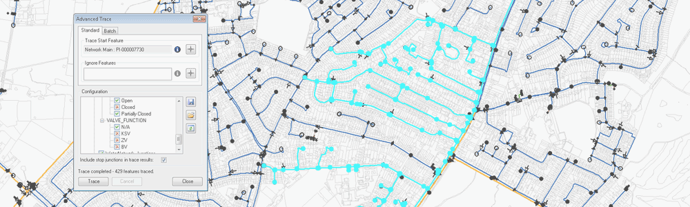
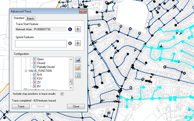
- Upgrade of desktop ArcGIS customisations, including C# ArcObjects class extension, desktop tools and python based toolbox tools.
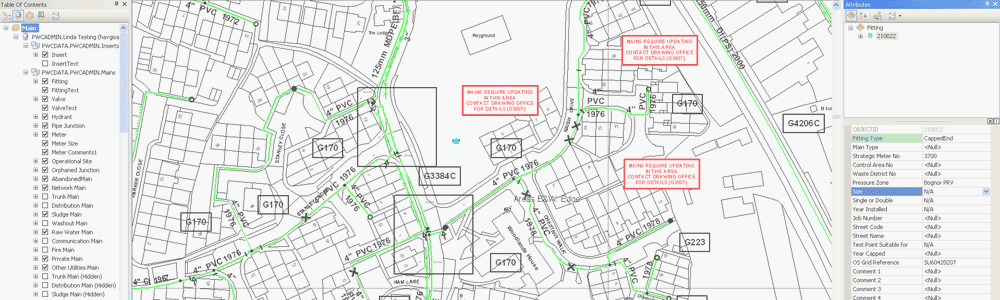
- Design and implementation of geodatabase schema changes, including new feature classes, subtypes, fields and domains.
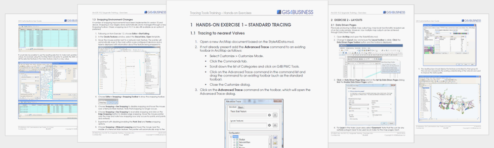
- Updates to existing administrative documentation and training materials to reflect the changes to the core product.
- Delivery of on-site training related to the upgrade to enable Portsmouth Water staff to get up and running quickly with the new functionality available.
GIS4BUSINESS also assisted with performance testing and issue resolution following the ArcGIS upgrade, liaising with Esri UK to investigate and resolve a number of issues raised by Portsmouth Water.
The upgraded solution has allowed Portsmouth Water to take advantage of new functionality and ensure that the application and database continue to be fully supported.
“Our 8 years of working with GIS4BUSINESS has been and continues to be very positive, with successful completion of upgrades, various projects, customisations and training.”
Related Projects
STW Desktop GIS Upgrade
GIS4BUSINESS provided GIS consultancy to Severn Trent Water during a desktop GIS upgrade to an existing Esri solution, producing designs, applying database changes and developing data migration processes as part of the upgrade.
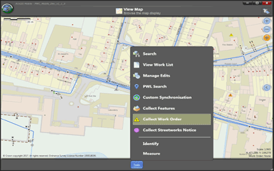
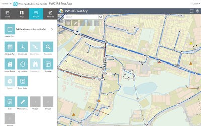
Mobile GIS & Work Management Integration
GIS4BUSINESS assisted Portsmouth Water with the integration of their existing Esri enterprise GIS solution with IFS, a new corporate finance and work management system, including back-end and mobile GIS components.
ArcGIS Online Integration
GIS4BUSINESS enabled Seisintel to better support their Esri customers worldwide by integrating their data services with ArcGIS Online, making various datasets available in near real time using custom data synchronisation.
Related Products & Services
GIS Installation & Configuration
GIS can be complex when there are databases, server and desktop solutions to consider. We have extensive experience in the installation and configuration of Esri ArcGIS and Open Source solutions such as GeoServer and PostGIS.
Web Mapping
Whether you require a simple embedded web map or a more complex web GIS application, GIS4BUSINESS has many years of experience in designing, configuring and developing web-based mapping solutions for small and large user bases.
GIS Customisation
Customisation of GIS desktop, web and mobile applications is often required to improve workflows or deliver specific functionality. GIS4BUSINESS has the required expertise and experience of developing GIS tools, extensions, plug-ins and widgets.
Technical Support
Our flexible technical support agreements cover your organisation’s implementation of the software, business processes and data. We can also implement pro-active maintenance processes to ensure that your solution continues to perform optimally.
Esri ArcGIS Desktop
Esri ArcGIS® Desktop is the industry standard professional desktop GIS for managing and maintaining enterprise GIS data, creating and publishing maps and performing advanced spatial analysis.

GIS Migration & Upgrade
GIS4BUSINESS have worked on several GIS migration projects and have undertaken many upgrades on behalf of our customers. We can help to plan upgrade activities, undertake data migration and ensure your new solution is implemented smoothly.